Spring 2008
The Undersea Frontier
– The Wilson Quarterly
The world's coastal nations are scrambling to stake out territory on the last international frontier, on the floor of the Arctic Ocean.
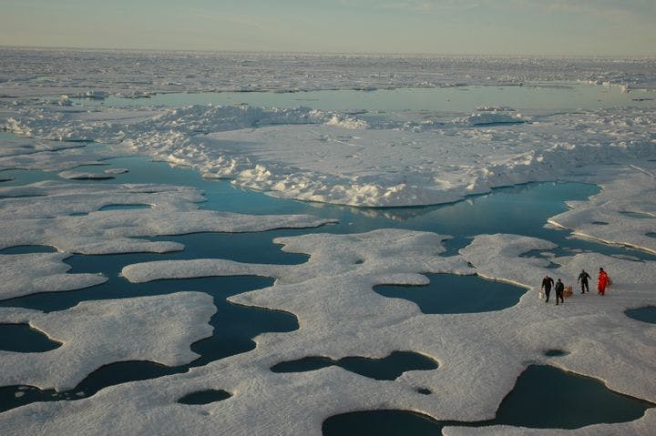
For years, Russian ships have been plying the Arctic Ocean in search of irrefutable proof that the undersea Lomonosov Ridge is connected to the fatherland. When a robotic arm pounded a titanium tricolor into the seabed under the North Pole in August, Russian explorers announced success. Unfortunately, both Canada and Denmark already claim this spot on the ocean bottom as their own.
The world’s coastal nations are scrambling to stake out territory on the last international frontier—the shelves and mountain ranges that stretch hundreds of miles from their shores. Touched off by an obscure authorizing provision in the United Nations Law of the Sea Treaty, the breakup of polar ice that makes undersea mining feasible, and—not incidentally—the high price of oil, the last great land rush is under way, says Geoffrey Gagnon, a magazine editor and writer. Some specialists believe the Arctic contains more oil than Saudi Arabia.
For centuries, the Cannon Shot Rule limited a nation’s territorial ambitions to roughly three miles, the range of a 17th-century cannon. In 1945, President Harry S. Truman unilaterally extended U.S. boundaries about 200 miles, to the edge of the continental shelf, in order to lay claim to offshore oil. But when other countries followed suit, confusion arose over the exact extent of each nation’s shelf. Four decades later, the Law of the Sea Treaty allowed a nation to go beyond 200 miles by submitting evidence that its continental shelf extended past that limit. The treaty, minus America’s signature, took effect in 1994.
Quietly, the University of New Hampshire’s Center for Coastal and Ocean Mapping has been surveying U.S. coastal waters to arm American diplomats with evidence to claim additional territory if the Senate ratifies the treaty, as President George W. Bush has asked. This could allow the nation to grow by at least 386,000 square miles. Alaska’s maritime boundaries would be pushed out 150 miles, and in the south, U.S. claims would reach to the middle of the Gulf of Mexico. The oil, gas, and other resources contained in the new U.S. territory could be worth at least $1.3 trillion, Gagnon says.
It’s tricky business delineating the rock of the continental shelf from the stone of the sea floor. For six years, U.S. marine geologists have been meticulously traversing the seas, in a back-and-forth movement like “mowing a lawn,” mapping the floors of the underwater Arctic Ocean, the Bering Sea, the Pacific waters surrounding the Mariana Islands, the gulfs of Alaska and Mexico, and the Atlantic Margin off the East Coast. Nine countries have already filed claims to expand their undersea turf. But if dozens of countries try to “grow” simultaneously, many of them are going to be wrangling over the same rocks. Already Britain, Argentina, and Chile claim the same stretches of ocean floor—off Antarctica.
* * *
The Source: “The Last Great Landgrab” by Geoffrey Gagnon, in Wired, February 2008.
Photo courtesy of The NOAA Photo Library